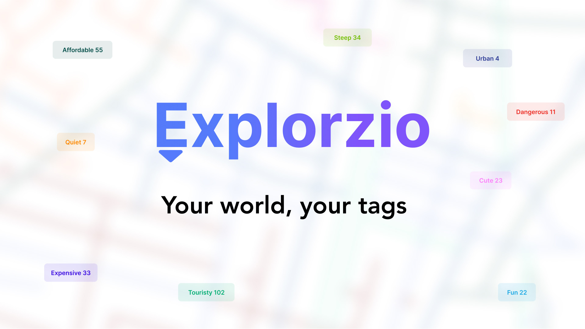
A travel app that lets you see what your friends think about different areas, instantly
My travel problem
When I arrived at a hostel in Greece, it looked perfect online, great photos, strong reviews, and a nice building. But once I got there, it turned out to be in the middle of nowhere. That’s when I realized something: travel platforms tell you about places, but not about the areas around them.
I didn’t want to scroll through paragraphs of reviews from strangers. I wanted to know what my friends thought of a neighborhood, in a word or two. Travel isn’t just about a room or a restaurant; it’s about the streets, sounds, and energy around them. That kind of data didn’t exist anywhere.
So I decided to build it.
So I decided to build it.
Solution
Explorzio lets travelers tag streets and places with short, one-word impressions and instantly see what their friends think of different areas. Instead of scrolling through long, anonymous reviews, users can explore a map filled with personal, trustworthy insights.
Each tag is tied to a real location, building up a collective layer of local knowledge. Users can zoom out to view how a city feels overall, or zoom in to see specific street-level details. They can also filter tags by the people they follow, making it easy to plan trips based on trusted opinions.
Competitive Analysis
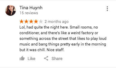
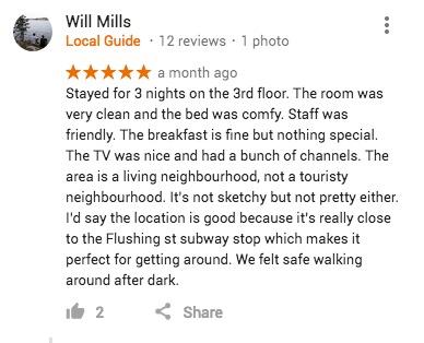
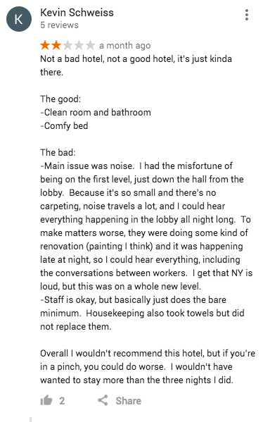
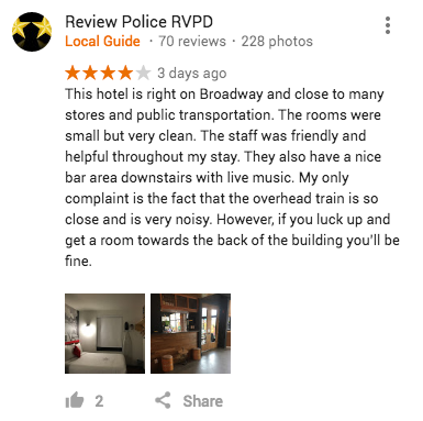
Whenever I come up with an idea, I always do a competitive analysis to see if my idea will work in the market. After lots of research, I saw that there was a huge opening
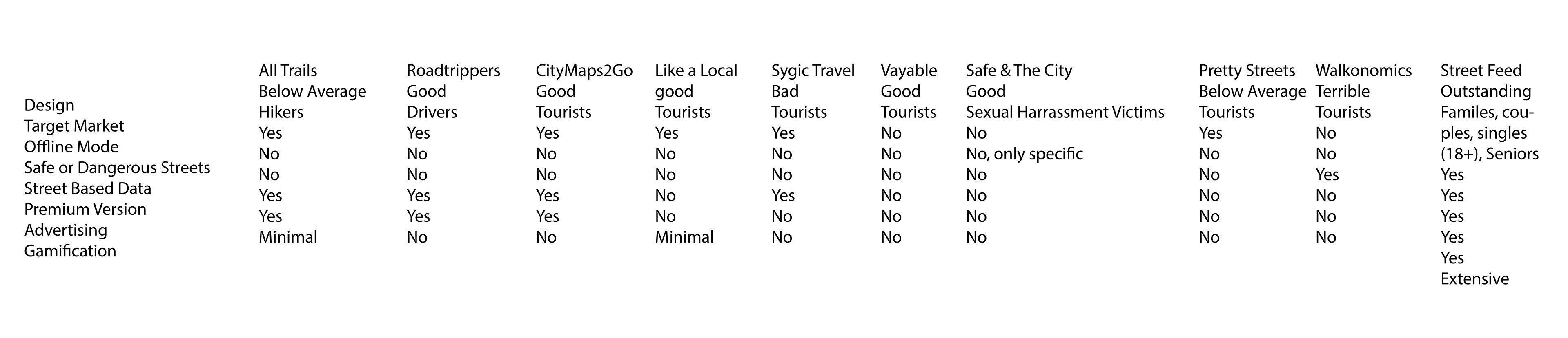
Online comments
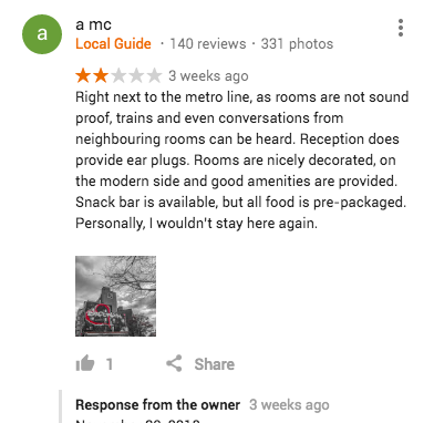
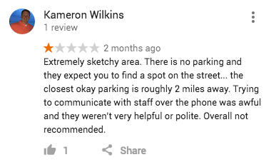
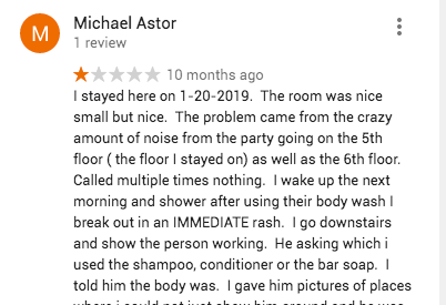
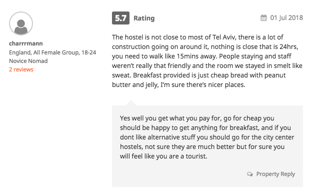
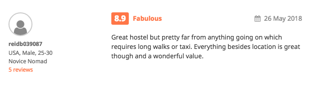
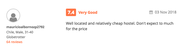
I researched a lot of what travelers had complained about. Everything always came down to the same, lack of knowledge of the area
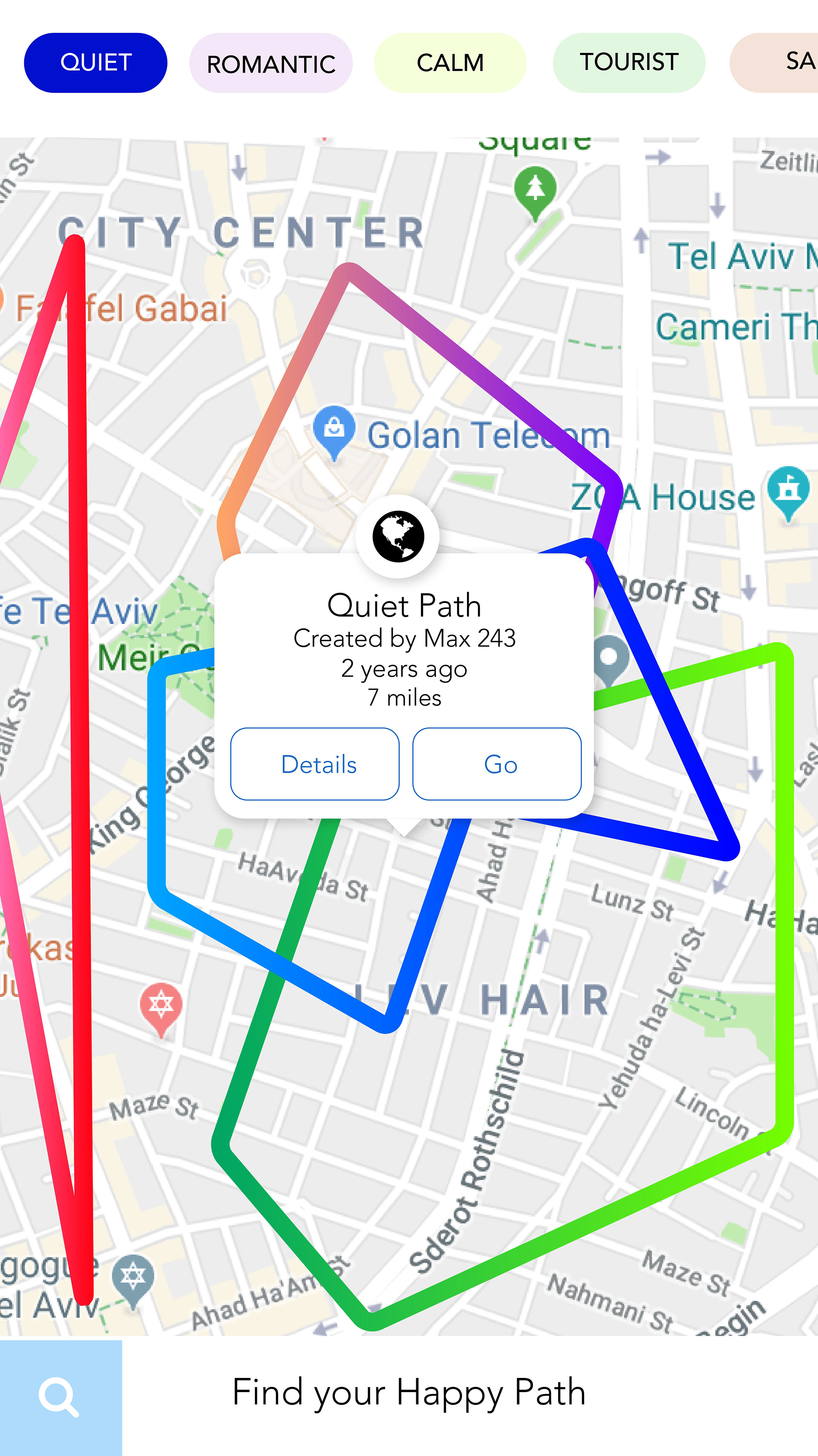
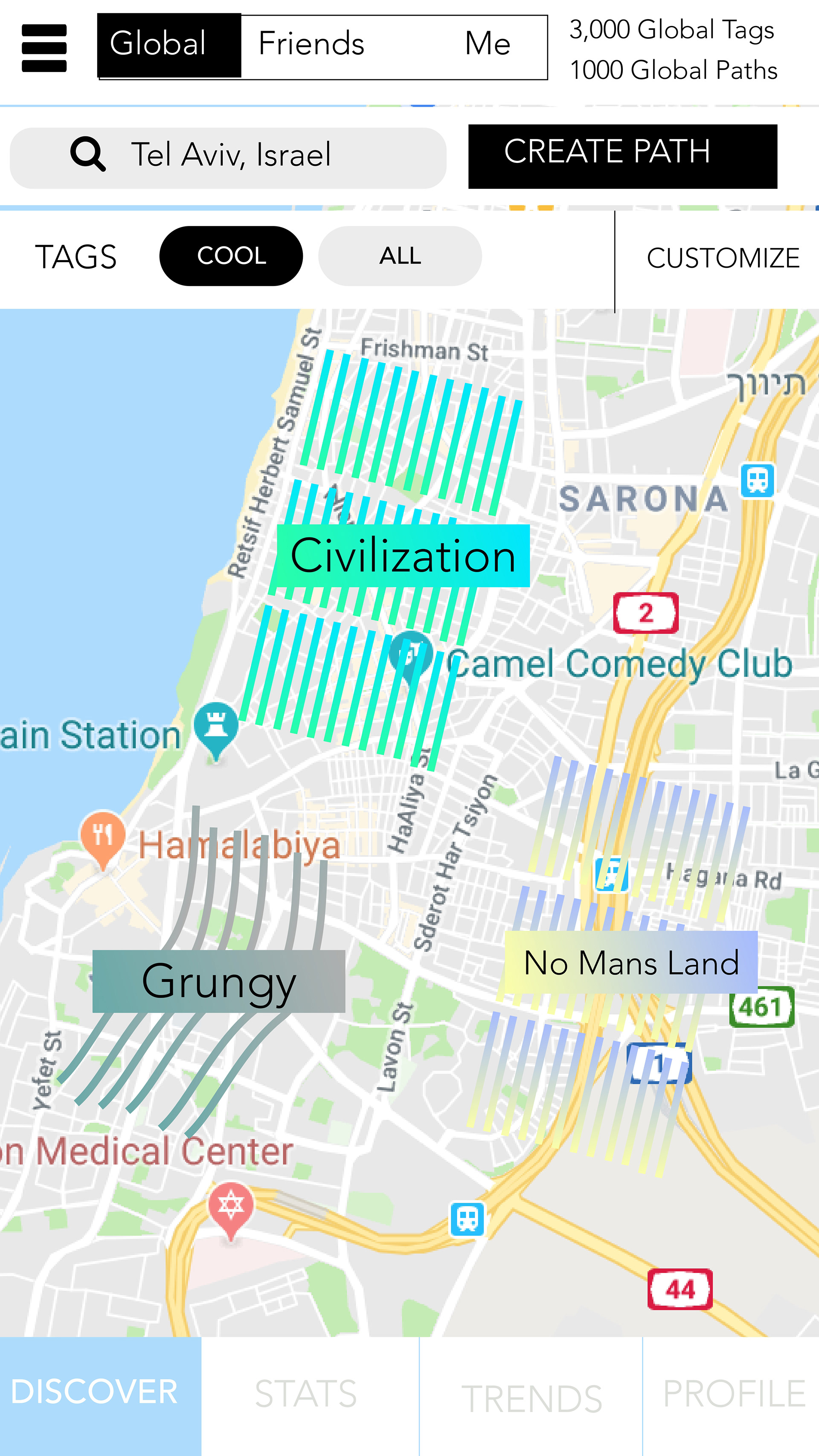
Early concept - Happy Path
I started with a simple concept called Happy Path. I was focused more on the walking journey. Later I would come to the conclusion that I needed to simplify everything, have less area tags on the screen, and to not focus on the walking path.
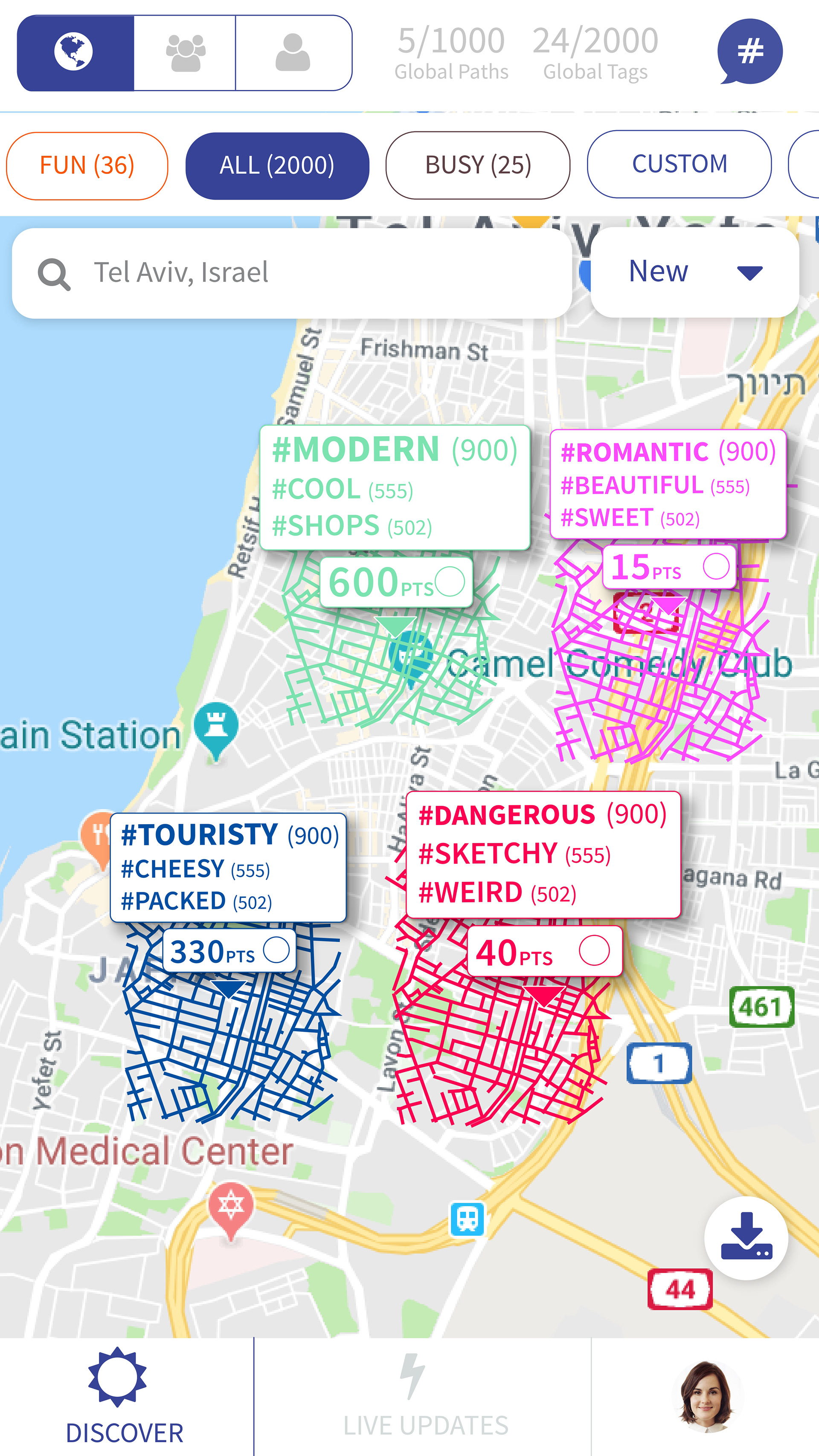
Exploration phase - Street Feed
I experiment a lot, and thought, instead of 100 area tags, what about showing the top 3 tags for each area. I also was focused much more on the gamification aspect, and showed how many points a user would get if they walked all the streets of that area.
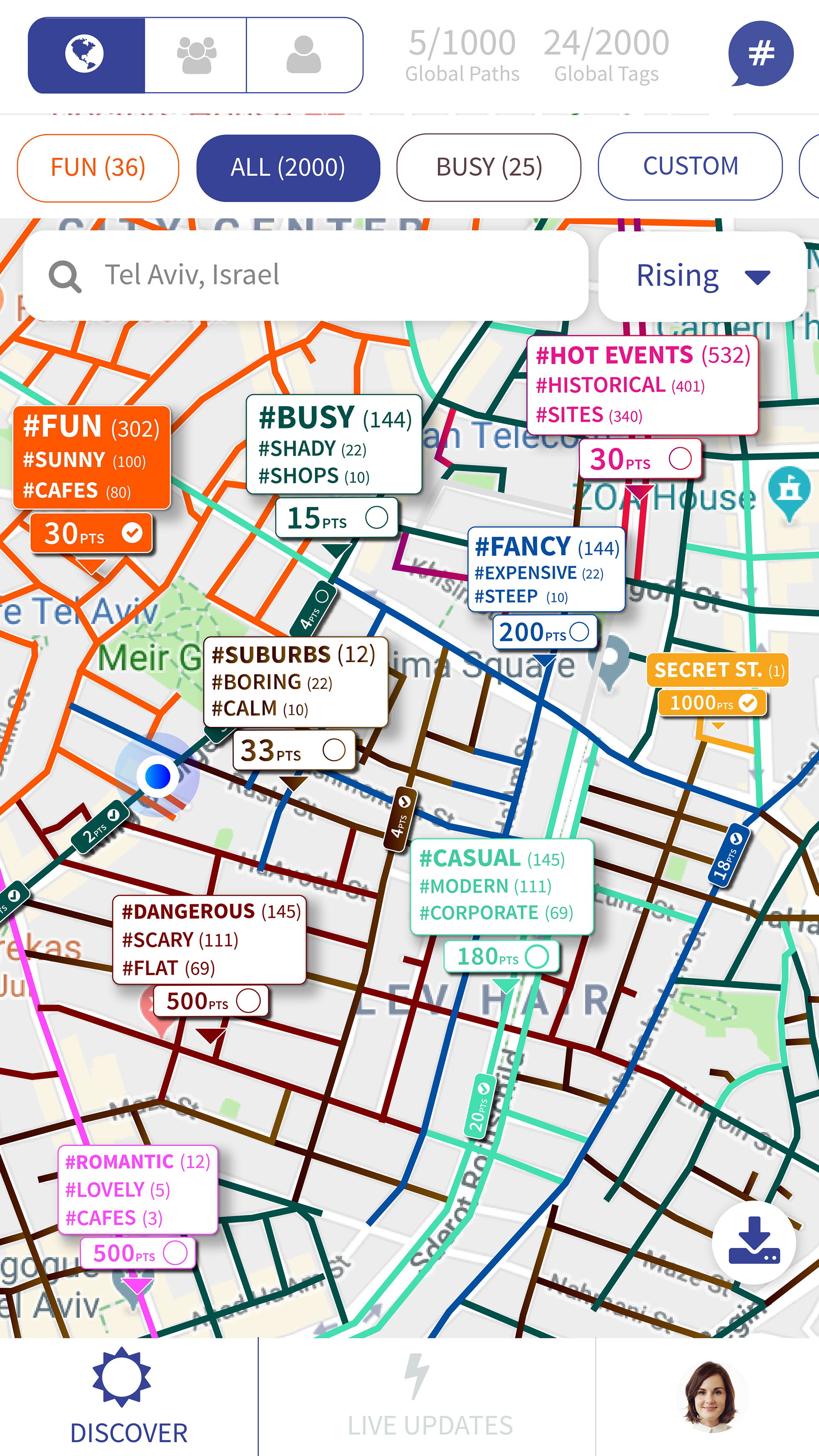
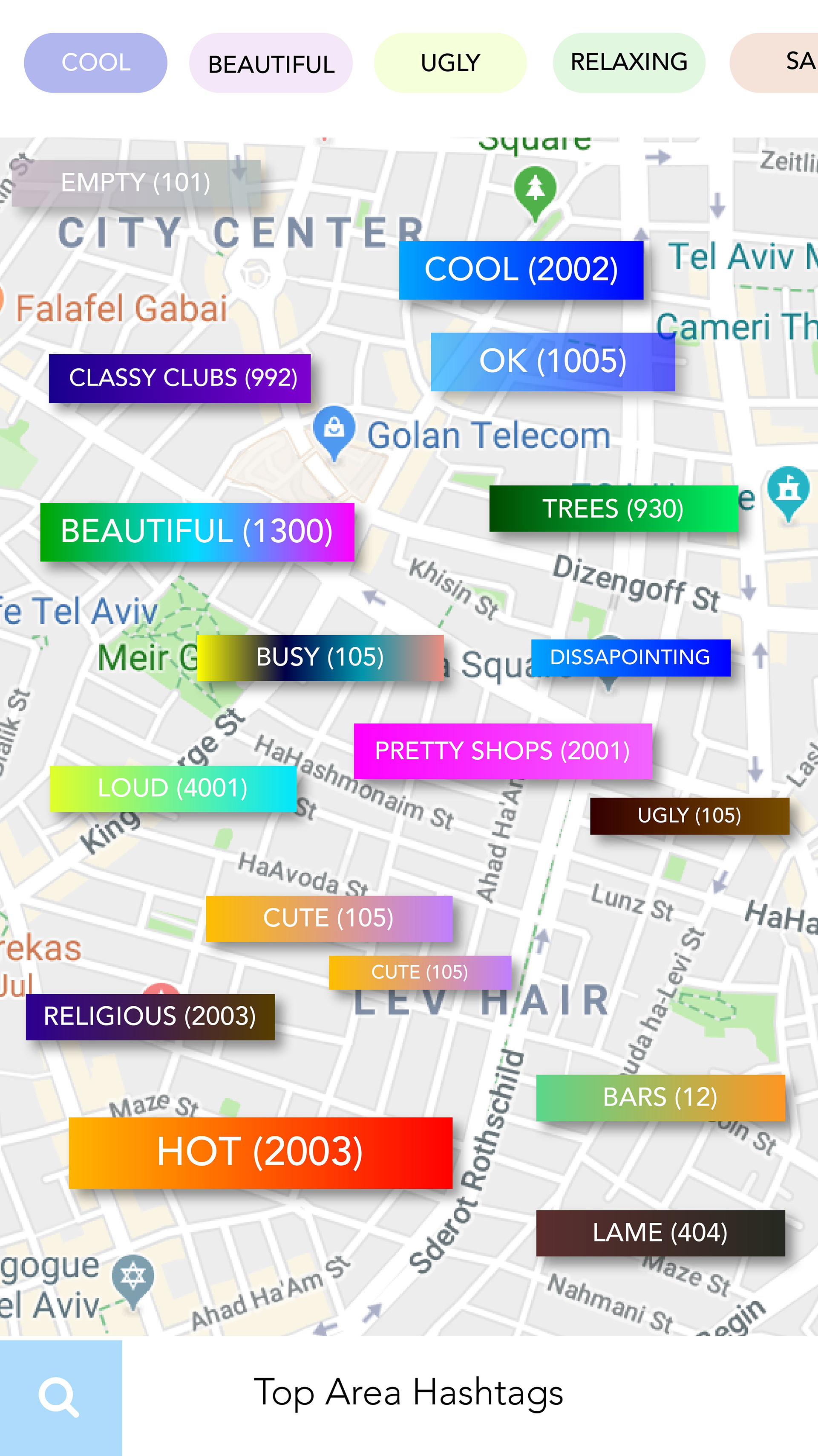
Refinement - Street Feed v2
Major updates here. Instead of filtering by tag, users could now filter by who they followed. I removed the top three tags for each area, and just put one. I also removed the path and gamification aspect of the app. I also started creating the upvote system for streets, as well as the preview of the street.
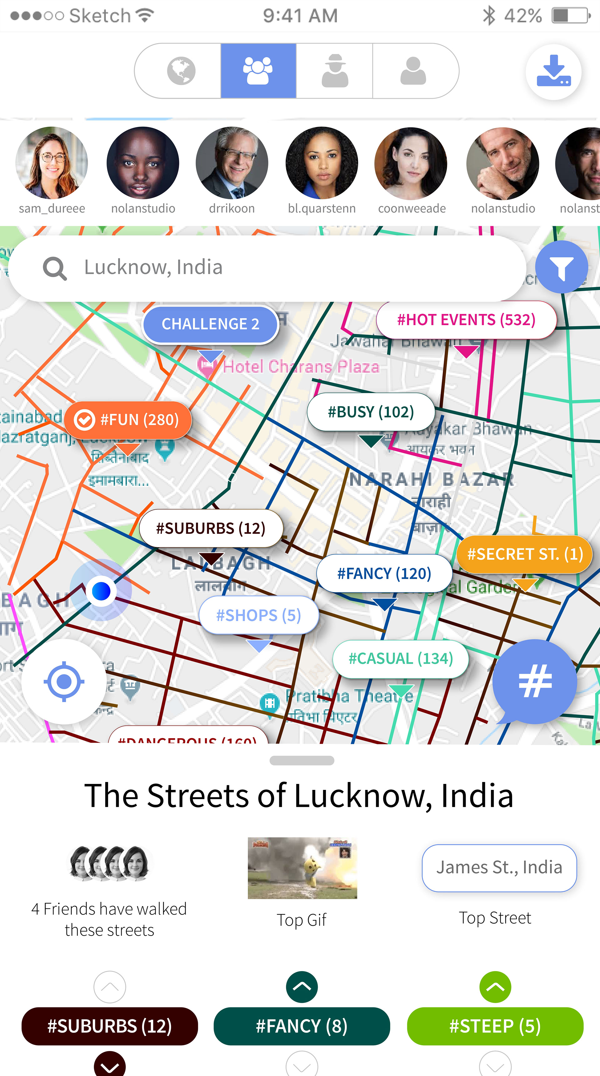
Final Designs
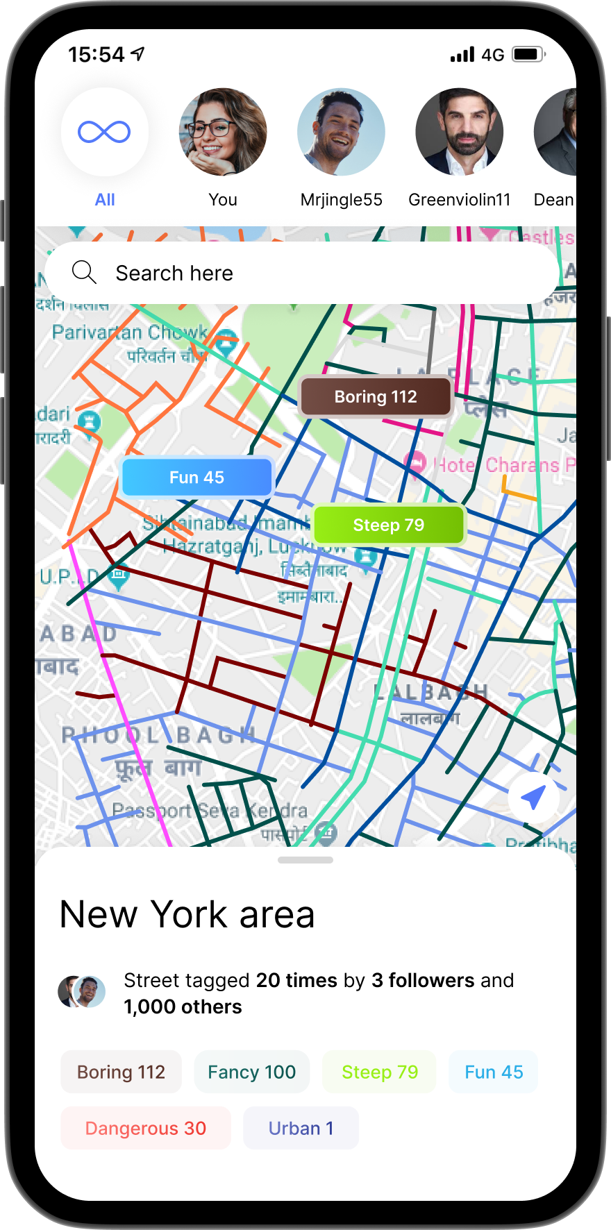
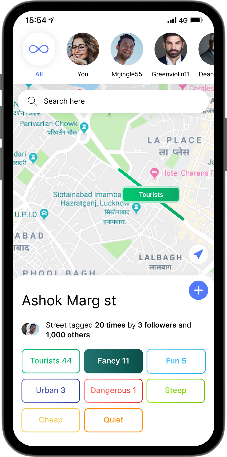
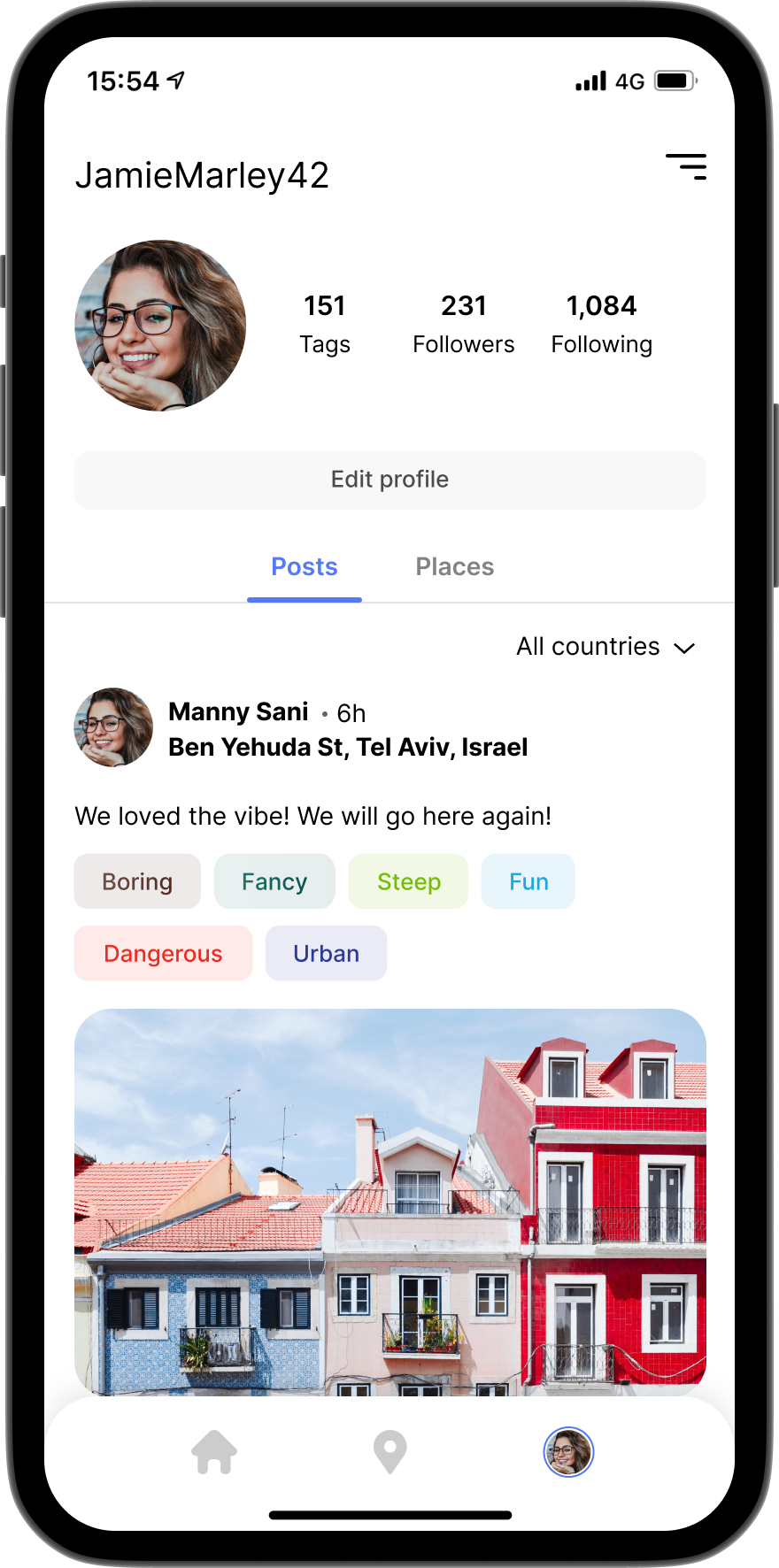
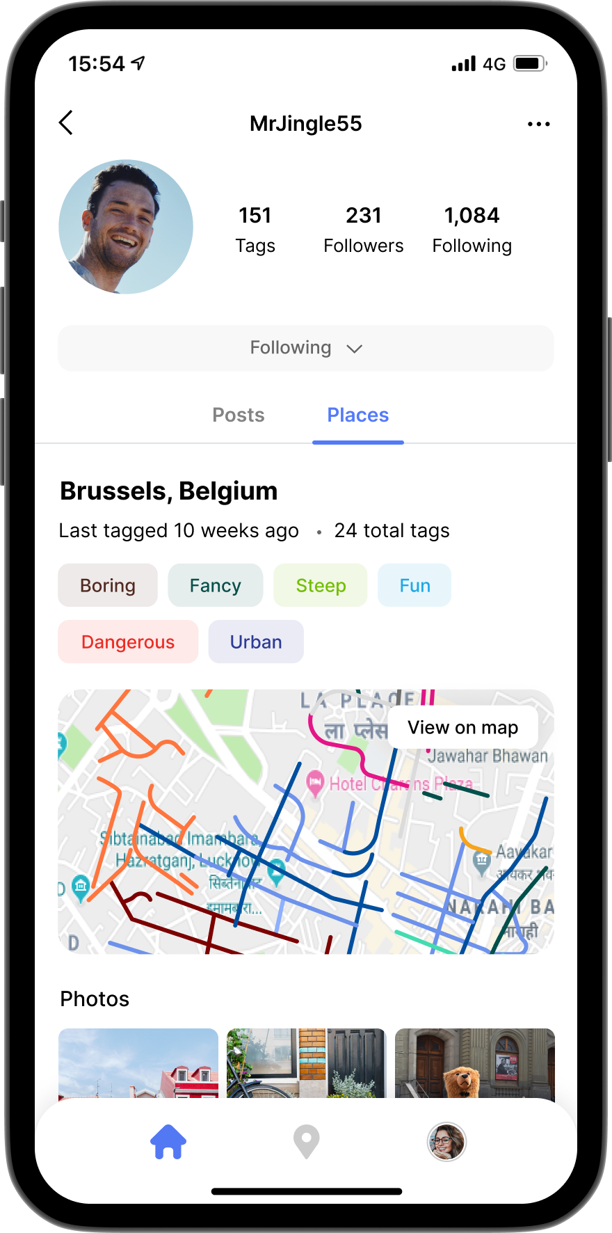
Everything has been simplified. At first, users can see area tags, which are a culmination of all street tags. Users can zoom in and see information on individual streets. They can then filter by users they are following. This is a user experience game changer.
Users can see post history, and filter by country. This way, if you are interested in visiting a country, you can see the tags and posts of that specific country and then view it on the map. You can also view by places, sorted by most recent. You get a great summary of the place with all the tags of the user. In an instant, you have extremely high quality information that would take you normally weeks to find online

Branding
The tags use multiple colors, so having a white background supports it. Shows streets and paths in the background pushes the app idea